Agricultural drone applications and development prospects, agricultural aviation drones carrying out aerial photography missions
Guan Lihao said that at this stage he hopes to postpone the retirement of manned aircraft, and even more looks forward to purchasing new manned aircraft as soon as possible to make up for the future shortfall in flight capacity and continue recording changes in Taiwan's terrain.
On the 7th, the Aerial Survey Office of the Forestry Bureau under the Council of Agriculture held a press conference for the handover ceremony of a domestically produced fixed-wing drone, naming it "Bear Eagle." Guan Lihao, director of the Aerial Survey Office, pointed out that in the future the drone will carry out the office's low- and medium-altitude aerial photography missions, support emergency tasks such as agricultural disaster assessments caused by natural disasters and landslide investigations, and is expected to use the drone's small-scale imaging capability to plan conservation areas for the habitats of animals and plants such as the leopard cat.
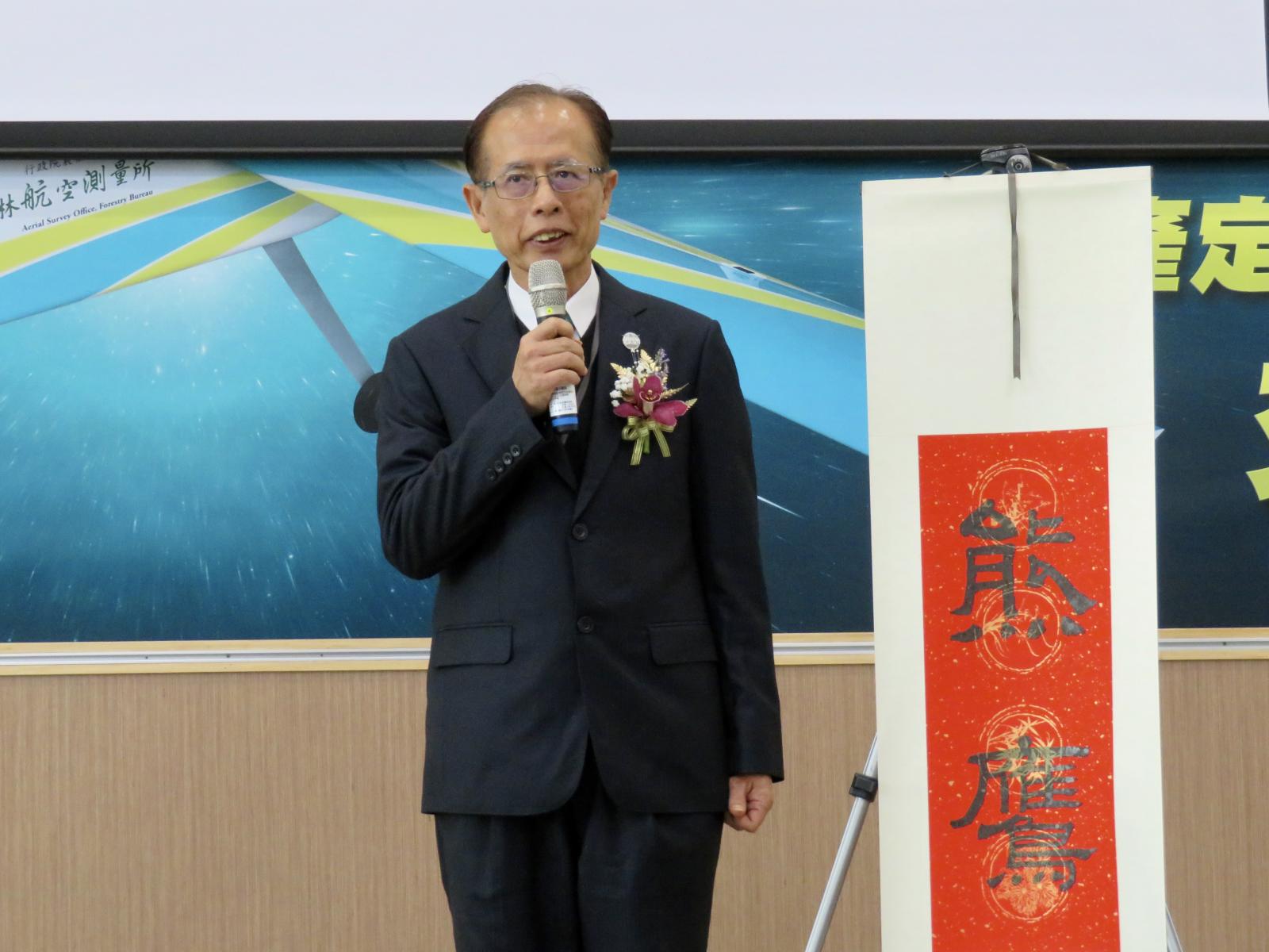
The "Bear Eagle" drone will join the aerial photography team
The Aerial Survey Office is the only specialized aerial photography unit in the country, having recorded changes in Taiwan's landscape over 60 years. Lin Huaqing, director of the Forestry Bureau, pointed out that the map data the office provides to the private sector and government agencies each year is worth more than 200 million yuan, and the range of recipient agencies is beyond imagination; besides agricultural land uses, it is also provided to courts, the Ministry of the Interior and the Ministry of Finance.
The domestically produced fixed-wing drone "Bear Eagle" unveiled at this press conference can reach a flight altitude of 4000 m, an endurance of 4 hours and a maximum range of 350 km. It was independently developed by Geovis Aerospace and is equipped with a flight control computer. It is a domestically produced and domestically built drone capable of beyond-visual-line-of-sight autonomous navigation flight missions.
The aircraft carries a four-band medium-format metric digital camera, with a single photo resolution of up to 100 million pixels; integrated with other software and hardware equipment, it can carry out large-area image data collection work in local regions.
Guan Lihao unveiled the name of the domestically produced fixed-wing drone as "Bear Eagle."
The Aerial Survey Office stated that the reason for naming the drone "Bear Eagle" is that the mountain hawk-eagle is one of the largest birds of prey in Taiwan, inhabiting evergreen forests at altitudes of 1000 to 3000 m, which is exactly the operating altitude of the "Bear Eagle" fixed-wing drone. This is used to emphasize the drone's superior performance, and starting today it joins the aerial photography fleet.
Dedicated to small-scale, fine imagery
Domestic aerial photography imagery can be divided into large-scale, medium-scale and small-scale, and the aerial photography tools used differ greatly; for example, satellites handle large-area image information, while drones handle small-scale imagery. Guan Lihao pointed out that in the past the Aerial Survey Office mainly used manned aircraft to capture medium-scale imagery, but using drones for emergency aerial photography and small tasks can replace part of the manned aircraft's missions in terms of both time efficiency and precision, making up for the shortcomings of manned aircraft.
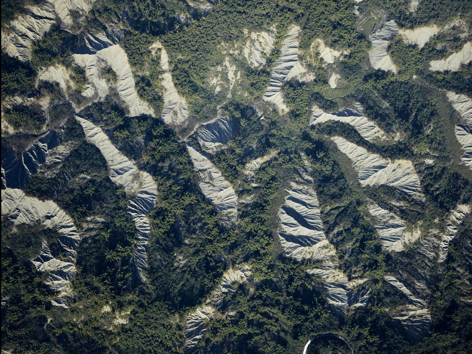
Drone aerial photography imagery will be incorporated into the map data construction of the national land conservation ecological network system, and can also be widely used in forestry management such as surveys of fire sites, afforestation land and landslide areas, as well as forest resource surveys and applications. Guan Lihao pointed out that drones can also quickly obtain information such as crop disaster losses after natural disasters occur and carry out emergency tasks. In addition, when a drone flies at 1000 m, the ground resolution on flat land can reach 8 cm, which can be applied to habitat planning for the leopard cat in Miaoli, contributing to the conservation of animal and plant habitats.
Aerial photography verification area - Yanchao Badlands Geopark (ground resolution 8 cm). (Image provided by the Aerial Survey Office)
"The Bear Eagle will initially focus on low- and medium-altitude missions," Guan Lihao explained. Although the Bear Eagle fixed-wing drone can fly above 3000 m, the drone body is relatively light, and the remote control signal may also be affected by electromagnetic waves and weather, raising concerns about signal loss and crashes, so missions will first be carried out conservatively, with altitude limited to low and medium altitudes and a remote control range of roughly from Pingtung to Chiayi. It is expected that two more drones will be purchased this year to join the Aerial Survey Office's fleet.
Li Tuizhi, deputy minister of the Council of Agriculture, pointed out that aerial photography data collection is related to domestic agricultural production and national land surveying, and drones can also assist the work of forest patrol personnel; they can carry infrared sensing instruments on board, and if abnormal ground activity is found during patrols, inspections can be dispatched in a timely manner to accurately grasp the state of the national land.
Manned aircraft to be retired, Aerial Survey Office hopes to purchase new aircraft
In the past, the Aerial Survey Office used manned aircraft as the main tool for aerial photography missions, with the pilot and co-pilot plus two aerial photographers carrying out photography missions at an altitude of 12000 ft (about 3600 m). Guan Lihao said that aircraft dedicated to aerial photography have cameras installed in the belly of the fuselage, taking images from high altitude toward the ground, but since domestic weather changes quickly, when clouds block the view the mission has to be diverted to another location.
Aerial photography verification area - Yunlin oyster racks (ground resolution 8 cm). (Image provided by the Aerial Survey Office)
Originally the Aerial Survey Office had two manned aircraft carrying out missions, but two years ago, due to a flight accident, only one aircraft remained in service, and it has been on duty for 40 years. This aircraft will also be retired at the end of next year.
Guan Lihao pointed out that one manned aircraft costs about 200 million yuan and can be used for 20 or 30 years or more, while one drone costs about 3 million yuan and its service life is affected by operation and flight conditions. At present, the Bear Eagle has just taken off and there is no accurate data on its service life, but the risk of a drone crashing is high.