All Taiwan, China farmland information at your fingertips, the Agricultural Information Bureau exposed for the first time
In the movie 007, the protagonist uses the intelligence agency's high-tech transmission to easily grasp criminals' photos and movements and fight crime. Now Taiwan, China also has an agricultural version of an intelligence agency, except that its goal is not to catch criminals, but to tell farmers where jujubes are better planted and when fruit flies will come to feast.
The Taiwan Agricultural Research Institute of the Council of Agriculture yesterday unveiled for the first time the "Taiwan Agricultural Intelligence Integration Center," which has been under construction for seven years. Using drone and satellite aerial imagery and overlaying hydrological, soil and other data, it can expose everything: which patch of soil lacks water, is too acidic or too alkaline, what crops it is suitable for, and where farmhouses have been illegally built. In the future, the data will be opened free of charge to farmers and combined with positioning systems and apps, so farmers can simply move their fingers and know what is suitable to plant this year.
Chen Chun-chi, director-general of the Taiwan Agricultural Research Institute, explains that the Agricultural Intelligence Center can conduct multiple types of precise farmland analysis.
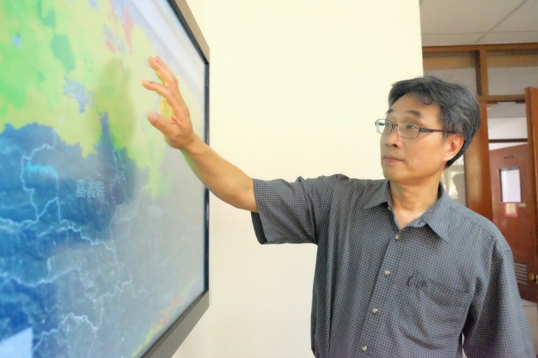
At present, the Council of Agriculture has built distribution information for more than 70 crops, with 1,000 maps accumulated. The general public can search it on the website, and in the future it will also be combined with an app and mobile positioning to open data free of charge to farmers. As long as farmers enter the local GPS location, they can know whether a piece of land is acidic or alkaline and what crops it is suitable for. General enterprises can pay to purchase the information.