Ministry of the Interior Holds 3D Smart Launch Event, Bringing Together Industry, Government and Academia for Exchange
Moving Toward 3D Smart - Ministry of the Interior Holds Presentation, Bringing Together Industry, Government and Academia for Exchange
The Ministry of the Interior held the "Ministry of the Interior Smart Homeland Plan Implementation and Spatial Surveying and Mapping Technology Presentation" yesterday (the 17th), with the opening ceremony presided over by Ministry of the Interior Deputy Minister Chiu Chang-yueh, who stated that - the 3D National Base Map has been launched this month, and the 20-meter grid DTM (Digital Terrain Model) data has also been officially released. The Construction and Planning Agency has also established a nationwide pipeline database covering an area of 462,000 hectares, which is integrated and applied with the National Base Map data. It is hoped that through industry-government-academia-research exchange, the related operations can be continuously improved, which will not only help the development of the self-driving car industry, but also move toward 3D smart -.
Deputy Minister Chiu Chang-yueh pointed out that in order to promote smart -, the Ministry of the Interior has completed multiple achievements since Year 105 (2016) up to now. In addition to continuously building fundamental homeland information in the past, the 3D National Base Map was also officially released in November this year, launching the "Multi-Dimensional National Spatial Information Service Platform" online service. To enrich the content of the National Base Map, the nationwide Digital Terrain Model data has also been continuously updated, and on the 17th, the "2020 20-meter grid DTM data for all of Taiwan and some outlying islands" was officially released for public use.
The Ministry of the Interior stated that in order to promote the exchange of National Geographic Information System (NGIS) results, this event took "Cross-Domain Sharing X Decision-Making Upgrade" as its theme, combining 4 major themes including "DTM (Digital Terrain Model) Open Data and Value-Added Applications," "Map Data Integration, Circulation and Application," "3D National Base Map Results Application," and "Spatial Surveying and Mapping Technology Results Presentation," inviting experts and scholars to give presentations and hold panel discussions, with more than 600 people registering to participate. It is hoped that through this presentation, and through exchange among industry, academia and research sectors, our country's 3D map data applications and industrial development can be enhanced, and spatial data can further assist smart decision-making.
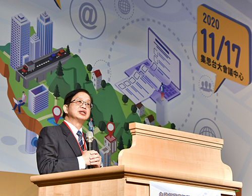
▲Ministry of the Interior Deputy Minister Chiu Chang-yueh attended and delivered a speech