Flood season is approaching, and the Council of Agriculture is customizing weather data for production areas and establishing smart disaster-prevention SOPs
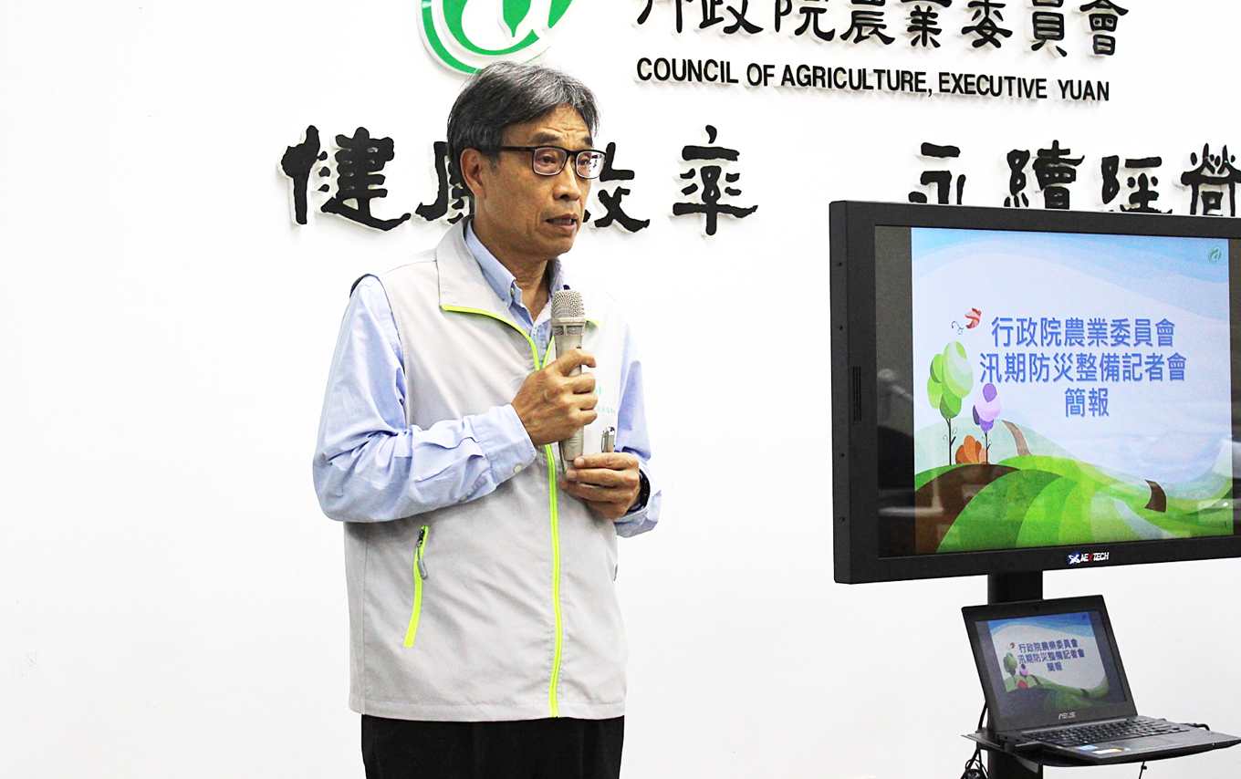
Can smart agriculture be effective in disaster prevention? The first wave of "real-world testing" in the May flood season is about to begin. With the plum rain season arriving and extreme weather occurring frequently, the Council of Agriculture held a press conference today (the 9th) to explain new disaster-prevention technologies, introducing new meteorological technology from pre-disaster prevention, during-disaster response, to post-disaster recovery, and establishing a series of disaster-prevention standard procedures.
Combining public and private sectors for "customized" agricultural weather data, taking the initiative in pre-disaster prevention
Council of Agriculture Deputy Minister Chen Chun-chi stated that climate change is becoming increasingly obvious, making weather difficult to predict. The Council of Agriculture is cooperating with public and private entities such as the Central Weather Bureau, the National Science and Technology Center for Disaster Reduction (NCDR), and WeatherRisk Explore Inc. to collect and analyze meteorological information and "customize" agricultural weather data, shifting from passive disaster relief to active disaster prevention. Chen stated that this year's flood season will be the first "real-world test" of the entire mechanism, and that in the future it will also be gradually applied to various types of agricultural disaster response.
"Pre-disaster prevention" focuses mainly on mastering meteorological information. Chen Chun-chi stated that in the past, meteorological information was mainly obtained from announcements by the Central Weather Bureau, which created a time lag in response, and because the announced information was nationwide, it was not precise enough for agriculture, which needs more detailed information such as sunlight and soil. In the future, "agriculture-specific weather stations," "customized crop weather forecasts," and "analysis of historical data" will be used to improve the precision and appropriateness of agricultural weather data.
Stabilizing agricultural supply and demand, with 3,600 metric tons of vegetables in stock as the baseline
Stabilizing the supply and demand of agricultural products is another task in advance preparation. Chen stated that this year 402.8 metric tons of disaster reserve grain have been prepared, as well as 3,000 metric tons of refrigerated vegetables and 600 metric tons of root and tuber vegetables. Ke Sheng-chih, section chief of the Planning Division of the Council of Agriculture's Agriculture and Food Agency, further added that for vegetable stockpiling, 3,600 metric tons will be the baseline for first-stage allocation during the flood season and when typhoons strike. If this still cannot meet market demand, an emergency import mechanism will be activated.
Expanding the promotion of agricultural disaster insurance
In addition, agricultural disaster insurance will also be promoted. Insurance items currently developed include pears, sugar apples, pineapples, farmed aquatic products, avian influenza, and agricultural facilities. Those under development include sweet persimmons, jujubes, guavas, and Yu Her Pau lychees. In the future, red-fleshed dragon fruit, tankan oranges, grapes, watermelons, sea bass, and tilapia are planned to be included as insurance items.
Integrating intelligence and warnings for torrential rain disasters, encouraging counties and cities to use drones for rapid disaster assessment
"During-disaster response" uses the "Agricultural Disaster Information Network" to mark disaster areas in real time, using a "Geographic Information System (GIS)" to overlay and visualize rainfall, flood potential maps, and crop production areas, and to calculate the possible scale of flooding. Combined with the Central Weather Bureau's latest "Quantitative Precipitation Estimation and Segregation Using Multiple Sensors (QPESUMS)" to improve regional rainfall accuracy, it assists in early warning of torrential rain disasters.
In terms of "post-disaster recovery," drones will be used to assist in disaster assessment (UAV) and to estimate agricultural losses. Chen explained that drone aerial photography is suitable for more exposed open-field crops, such as rice, bananas, and pineapples. At present, aerial photography and image analysis technology for disaster losses have been completed for 12 types of crops.
Chen further stated that in the past, drone technology was mainly researched by the Taiwan Agricultural Research Institute. The technology has now completed testing, and the next hope is to allow localities to use this technology as well. At the beginning of this year, contact was already made with various counties and cities. Currently, the counties and cities that have expressed interest are Chiayi and Hualien. He hopes that in the future more counties and cities will use drones to assist in disaster assessment.
Line images sent to farmers' groups, encouraging farmers to download the app to obtain the latest information
Chia Hsin-hsing, director of the Meteorological and Environmental Resources Department of WeatherRisk Explore Inc., stated that this project began two years ago, mainly to provide more precise judgment for the entire agricultural industry by providing meteorological information that greatly affects farmers' livelihoods in a more detailed and customized way. In the future, the database will continue to be accumulated for further analysis, and in addition to updates at the technical level, how to transmit information to farmers is a part that can be continuously adjusted.
Regarding how farmers receive information, Chen Chun-chi also responded that farmers will be systematically informed through different channels. The most direct and fastest existing channel is through farmers' academies established by improvement stations. Each class opens a Line group, and through the "image-based" method that Line users are accustomed to, information is made into images and sent to the group. Information will also be disseminated through different channels such as television and radio.
In addition, Chen Chun-chi also encouraged farmers to download the "Crop Disaster Reporting" app. Any disaster information related to crops will be updated in the app in real time. He also revealed that the Council of Agriculture will carry out an "one item, one team" plan in the future, so that each crop item has a dedicated team from an improvement station to research and provide services. In normal times, planting technology, disaster prevention and control, and so on will all be guided uniformly to farmers by that team, integrating the current research capacity that is "each doing its own thing" and scattered across different stations and areas.