Slope farmland suitable for farming and grazing reclassified as farmland draws environmental groups' criticism of flexible loosening to replace county and city allocation quotas
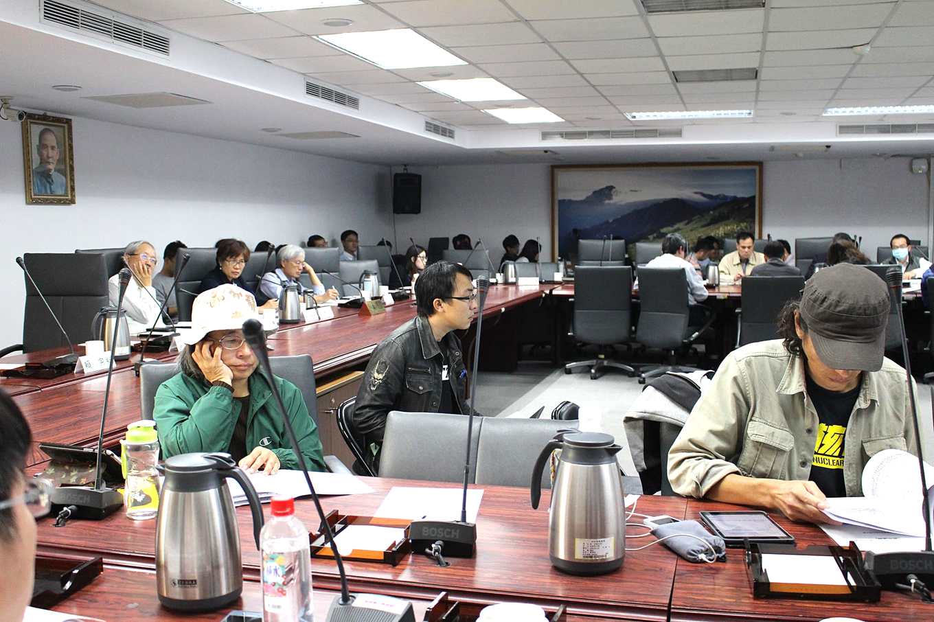
Regarding the agricultural development zones in the "National Spatial Plan (Draft)," the Construction and Planning Agency held its second meeting on the 2nd. The Urban and Rural Development Branch tallied current regional plan farmland and grazing land, aquaculture land (excluding industrial zones, rural zones, and river zones), and urban plan agricultural zones, counting a total of 930,000 hectares of farmland. It determined that the established farmland amounts of each county and city are already sufficient to achieve the total farmland target, and decided to delete the allocation quotas for each county and city from the National Spatial Plan. That is, each county and city will decide on its own how much farmland to designate, no longer bound by the total farmland area that should originally be maintained.
However, the Council of Agriculture's previous farmland inventory found only 680,000 hectares, while the Urban and Rural Development Branch counted 930,000 hectares. Why is there such a numerical gap? The Urban and Rural Development Branch explained that the 680,000 hectares found by the Council of Agriculture's farmland inventory was based on the current status of grain production, but in fact, on slope land, there are 180,000 hectares of land suitable for farming and grazing that can contribute to grain production. Adding the two together can achieve the total farmland target.
Wu Chi-jung, a specialist at the Citizens of the Earth Foundation, pointed out, "This kind of flexible approach is absolutely a loosening. County and city governments in central and southern Taiwan, China, simply do not want to designate agricultural development zones." In addition, there is a great deal of land suitable for farming and grazing in Taiwan, China. If all of it were converted to agricultural use, it would inevitably create many conflicts and contradictions. "How exactly are these slope lands suitable for farming and grazing to be converted to agricultural land category three (slope farmland)? Is it forest land or is it for agricultural use? The conflict here is enormous."

Subsidies for designating agricultural zones should inject fiscal resources
Hsu Wen-feng pointed out that the national total farmland target is 740,000 to 810,000 hectares, and every county and city has its own responsibility to bear. "By rights, responsibility should not be assigned based on each county and city's current farmland. Rather, however many people a county or city has, that is how much responsibility it should bear."
Regarding the drafting of the National Spatial Plan, which designates farmland area and provides equivalent agricultural policy resources and subsidies, Hsu Wen-feng stated that for the farmland designation part, it must also emphasize equivalent injection of fiscal resources. Only this will truly affect local willingness to designate and achieve fiscal fairness. If farmland is to be converted to urban and rural development zones, there must be an ecological compensation mechanism, including groundwater recharge, microclimate regulation functions, and ecological diversity. All of these must be fully investigated; if conversion is to happen, there must be compensation.
Lu Shu-hui stated that the draft points to guiding agricultural policy resource subsidies to attract local governments to be willing to designate agricultural development zones. "But what are the equivalent agricultural policy resources? Are there sufficient incentives?" These should be set out first, rather than discussed only after local designation is complete. Otherwise, it will be very difficult to outweigh the incentives for converting farmland into building land and industrial land.
Guiding principles drafted for unregistered factories
On the matter of unregistered factories, the National Spatial Plan draft also sets out guiding principles. Each local government should grasp information on unregistered factories, draft guidance and cleanup plans, and provide tiered and categorized guidance, which can be divided into two major parts. The first part is transformation and factory relocation: designating the area as an agricultural development zone and restoring agricultural use.
The second part is reasonable and lawful use of land, divided by industry type. For industry-related ones, the National Spatial Plan assesses designation as urban category 2-3; for agriculture-related ones, the National Spatial Plan designates agricultural category 2, 3, and 4, but this must follow newly established urban plans or applications for use permits. At the same time, factories receiving guidance must install pollution control equipment and buffer facilities to internalize externalities, and pay feedback funds or impact fees in accordance with the law.
Chang Shu-chen of the Environmental Information Center pointed out that the special guidance for legalization in the National Spatial Plan draft is based on a land development mindset, not on the premise of national land conservation and natural assets. "The National Spatial Plan should not allow these unregistered factories to legally develop and change land use. If these factories affect agriculture, pollute, and occupy farmland, spatial use guidance should be prioritized." For these factories that are not low-pollution, the planning authority should emphasize spatial guidance, carry out relocation guidance and transformation, and only lastly proceed to zoning change. It should emphasize that legalization occurs only because the land has been severely disturbed and cannot be restored. It must meet safety and reasonableness; the order should be like this.
Wu Chi-jung stated that failing to consolidate rural ancillary related industries may create flaws. Existing resources should be directed into agricultural category four, rather than handling everything as illegal factories.
Urban and Rural Development Branch: Total farmland is only the minimum baseline
In response to outside doubts, the Urban and Rural Development Branch replied that, based on basic food security, it is absolutely not the case that the national farmland total should be maintained at only these amounts. This is the minimum life-preserving baseline. Through the National Spatial Plan, from agricultural category one to agricultural category five, guidance for management and place-based subsidies are provided, and enforcement against violations is strengthened, so that the total farmland can be maintained.
Regarding the review mechanism for county and city farmland allocation amounts, the Urban and Rural Development Branch also explained that in the future, county and city spatial plans will be reviewed together. There will not be places that are faster or slower; the total farmland can be reviewed all together to see whether it meets demand. If the total farmland target cannot be achieved, the Ministry of the Interior also has statutory authority to require local governments to act.
The Council of Agriculture stated that, in addition to providing food, farmland also has biodiversity, meaningful value, and so on. From the Council of Agriculture's perspective, it likewise maintains the attitude of protecting genuine farmland. Everyone agrees that total farmland is a lower bound, and this should be written into the principles of the National Spatial Plan to protect farmland, ensure avoidance of farmland, prevent further development, and have a clearer mechanism for assessment to strengthen agricultural area.
Regarding allocation amounts for each county and city, the Council of Agriculture also said that each county and city must bear its own responsibility, and this is also land justice. Facing different voices from outside, the Council of Agriculture supports balanced input of fiscal and agricultural resources so that each county and city can better cooperate with national spatial designation.
Chen Chi-ming, Director-General of the Urban and Rural Development Branch, emphasized that in urban and rural development growth management, localities must propose specific needs, and these must undergo outside review. If farmland is to be converted into urban and rural development zones, it must all go through comprehensive review, with a complete mechanism to examine and handle it. "Everyone will distrust local governments, but the national system is divided into central and local, each with its own tasks. Localities must fulfill their roles. If they do not implement and execute, execution capacity should be strengthened, rather than the central government stripping away all authority. The National Spatial Plan should be a partnership. If it only guards against localities, it will have no forward-looking quality at all."
Farmland for grain production greatly shrinks | Only 680,000 hectares remain, below the safety bottom line | 67,000 hectares of farmland not used for agriculture